AR & VR
Seeing Through the Road: Augmented Reality for Sewer Inspection
Prepared by Tinoy Peter
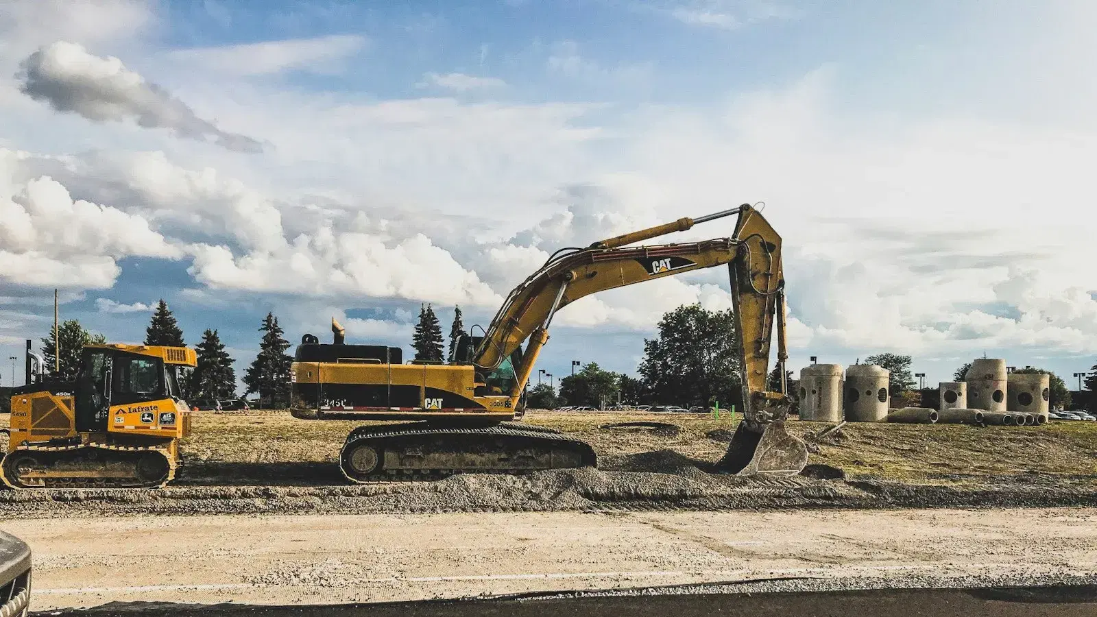
A crew is sent to a street. Somewhere under the tarmac there is a fault in a sewer. They know roughly where, because a customer reported it and a map from some decade or other says a pipe runs along there.
What they do not know is how deep it sits, which direction it runs, what material it is, what else is buried beside it, or which of the four possible faults they are about to find. So they bring what they can fit on the van, open the ground, look, discover they need something else, and come back tomorrow.
The second visit is the whole cost. Everything else is comparatively cheap.
The Challenge
CALM Group — Complete Asset Life Management — managed buried infrastructure assets. The difficulties were the ones that recur across every field operation we have built for, concentrated by the fact that the assets are invisible:
- The records were not one thing. Asset data accumulated over decades across drawings, spreadsheets, contractor handovers and institutional memory. No single view existed of what was where.
- Location was approximate. Historic records describe a pipe as running "along" a road. Excavation is precise. The gap between those two is measured in square metres of tarmac.
- The crew could not see the problem before committing to it. Every diagnosis required breaking ground, which meant the diagnosis and the most expensive irreversible step happened in that order.
- The knowledge lived in people. Engineers who had worked a patch for twenty years knew things no system held, and were retiring.
What We Built
Two halves that only work as one.
The asset inventory ERP
The unglamorous half, and the one that makes the other half possible. A single authoritative record of the buried estate: what each asset is, where it runs, its material, dimensions, condition history, and every intervention performed on it.
Consolidating decades of inconsistent records into one structured inventory is not interesting work and there is no way around it. An augmented view of the underground is only as good as the data it draws — a beautiful rendering of a pipe that is not there is worse than no rendering at all, because somebody will dig for it.
The augmented reality inspection application
An iPad application that lets a repair team look at the road and see what is underneath it — the pipe network rendered in place, at the right depth, on the right alignment, drawn from the ERP.
What that changes, in order:
Before leaving the depot. The crew can see what they are being sent to. Not a work order describing a fault, but the actual asset — its material, its diameter, its condition history, what else is buried alongside it.
Which decides what goes on the van. This is the point of the whole system. A team that knows it is a 150mm clay pipe at 1.2 metres with a known root intrusion history brings different equipment from a team that knows only "sewer fault, Elm Street". Carrying the right thing on the first visit is the difference between one journey and two.
On site. The rendering is aligned to what the crew is standing on, so the excavation is placed against the asset rather than against a drawing being mentally projected onto tarmac.
And the findings go back. What the crew actually finds is recorded against the asset in the ERP, so the record improves each time somebody opens the ground rather than degrading into another handover document.
The Approach
The data is the product. The AR is what people remember from the demonstration and the inventory is what makes it work. We built them in that order deliberately — the ERP first, the visualisation on top of it — because the reverse produces a convincing demonstration that cannot be deployed.
Design for a wet street, not a desk. Everything about the field interface was decided on the assumption of gloves, rain, bright sun and no reliable signal — the same constraints that govern every field application we build, and the reason most enterprise interfaces fail the moment they leave the office.
Show uncertainty as uncertainty. Where the underlying record is imprecise — and for buried assets it often is — the rendering says so rather than drawing a confident line. A system that presents a guess with the same authority as a survey teaches its users to distrust all of it, and they are right to.
Measure the second visit. Not adoption, not sessions, not how impressive the AR looks. The number that justifies this system is how often a crew has to come back, and everything was built to move that one.
The Result
CALM was acquired by Ipsum Group in February 2017, as Ipsum's very first company investment — the deal that began their growth strategy in infrastructure and utilities services.
We were the development partner before that acquisition, not after it.
The argument this project proves is the one our energy and construction practices are built on: in field work the cost that dominates is getting a person to the asset, so anything that removes a second visit pays for itself. The same reasoning drives ARMO, our monitoring product for buried networks — and it is why we argue for starting from the instrumentation you already have.
If you are running a buried or distributed estate and the records are older than the people, tell us what you have.
Have a system that needs to do this?
500+ systems shipped since 2011, and we still maintain most of them. Tell us what you are trying to move.